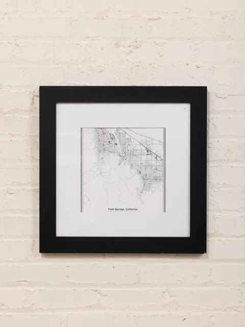
 Palm Springs Street Map Framed Minimal City Map Print in Black and White
1 / 8
Framed First Edition Nautical Map of East Coast New Jersey
$636
Olde Good Things
View listing ↗Los Angeles, CA · Reported available
- Period
1930s
- Dimensions
Height 52.5 in × Width 37.25 in × Depth 1.625 in
Dealer notes
Original 1st edition nautical map from May 1937 of East Coast New Jersey, including Shark River, Manasquan River, and Bay Head Harbor. The map is newly framed in a handcrafted white crackled paint vintage wood molding frame. Please inquire about other 1st edition nautical maps available of New York harbor, Connecticut, Long Island, and other East Coast harbors and rivers. Custom molding frames available. Inventory no.: P260935 Availability: One available Location: Scranton warehouse Width (in.): 37.25 Height (in.): 52.5 Depth (in.): 1.625 Composition: Glass, Paper, Wood Color: Blue, White, Yellow
Listing information
Last checked
Added
Details are supplied by the dealer. Confirm availability and shipping before purchasing.
Loading history…