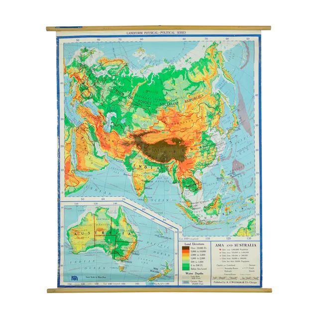
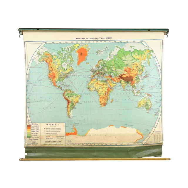
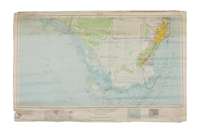
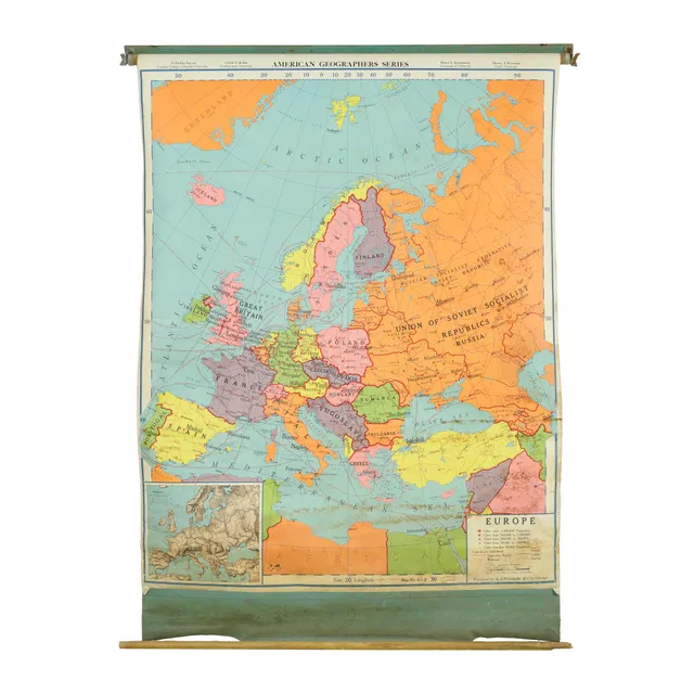
 1957 American Geographers Series Map of Europe
1 / 12
Hart American History Series Presidential Elections 1912-1924 Paper Map
$375
Olde Good Things
View listing ↗Los Angeles, CA · Reported available
- Period
1920s
- Dimensions
Width 44 in × Height 32 in × Depth 0.062 in
Dealer notes
This presidential elections results 1912-1924 paper map from Harvard University, created by Albert Hart and David Maydole Matteson, is a historical gem. Published by Denoyer-Geppert Company. Copyright 1927. This map likely offers insights into the electoral outcomes and shifts during those pivotal presidential elections, making it a valuable resource for understanding American political history during that era. This is in good condition, with age appropriate surface wear. Inventory no.: Q283320 Availability: One available Location: Scranton warehouse Width (in.): 44 Height (in.): 32 Depth (in.): 0.062 Weight: 7 oz. Composition: Paper Color: Multi color
Listing information
Last checked
Added
Details are supplied by the dealer. Confirm availability and shipping before purchasing.
Loading history…